Our Services
Explore our range of aerial photography and drone mapping services tailored for your needs.
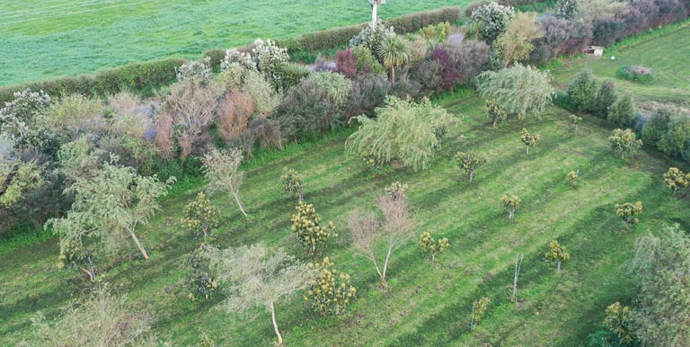


High-resolution Orthomosaics
Very high resolution birdseye view of your property. We stitch about 800 photos(depending on property size) into 1 big very high quality orthomosaic. We can add custom layers, get in touch for more information.
Drone Mapping
Utilize advanced drone mapping with GIS overlays for precise land and property analysis.
Our Services
Precision aerial imaging and detailed mapping solutions.
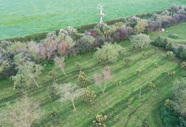
Aerial Photos
Ultra high resolution aerial photos capturing every detail.
Vector Layers
Custom layers like contour lines, paddocks, waterways, and fences.
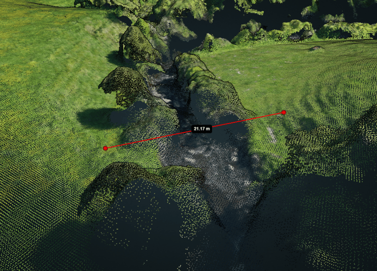
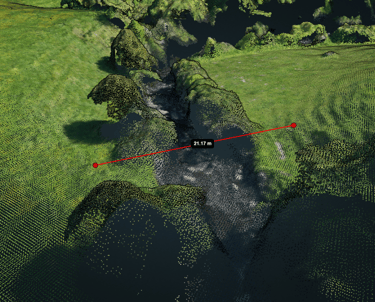
3D Point Clouds
Dense 3D point clouds with dimensional imagery for depth.