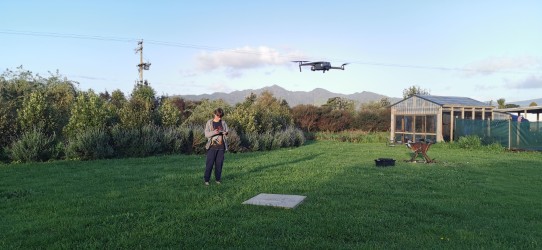
Precision mapping services using advanced drone technology.
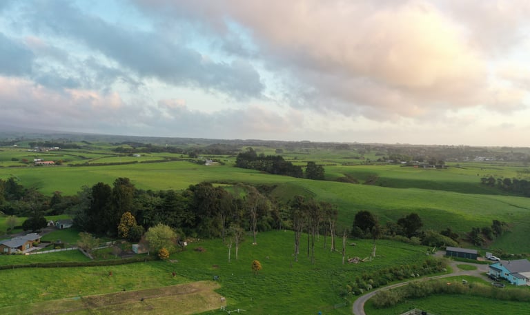
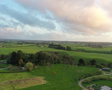
Stunning arial photos and videos showcasing landscapes and properties.
Our drones capture detailed aerials, then GIS tools overlay map data for easy-to-use property and terrain maps.
Explore our stunning aerial photography and mapping.