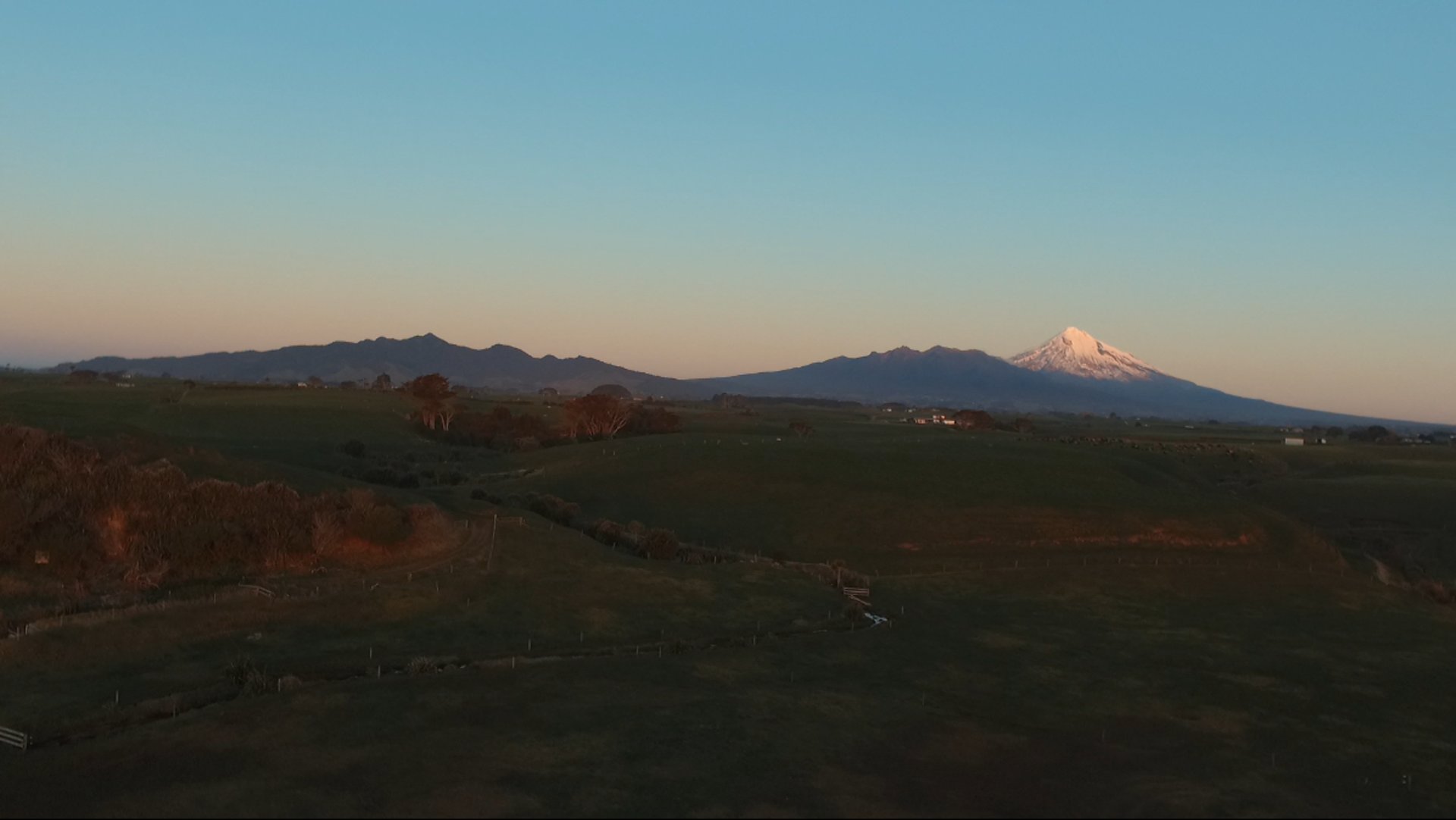
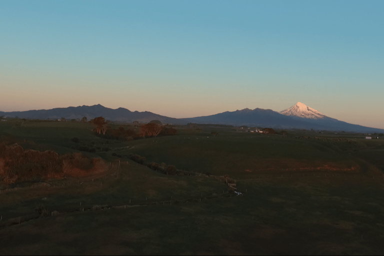
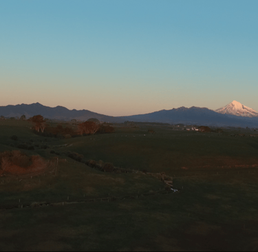
Drone Mapping & Arial Photos in Taranaki
A small local business offering affordable arial photography and mapping services across Taranaki.
Our Services
Explore our range of aerial and mapping services tailored for your needs.
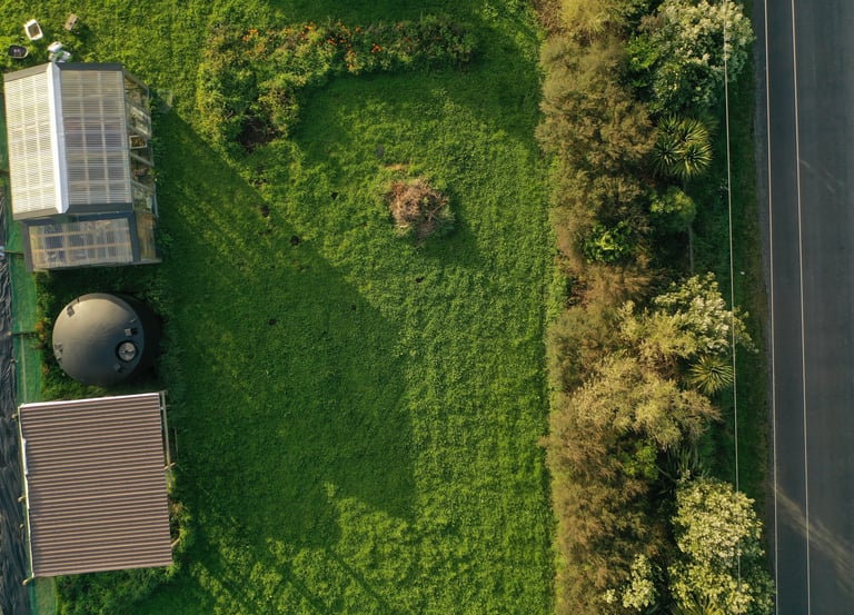
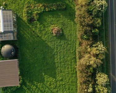
Aerial Photos & 4K Video
High-quality shots and creative footage for marketing or personal use.
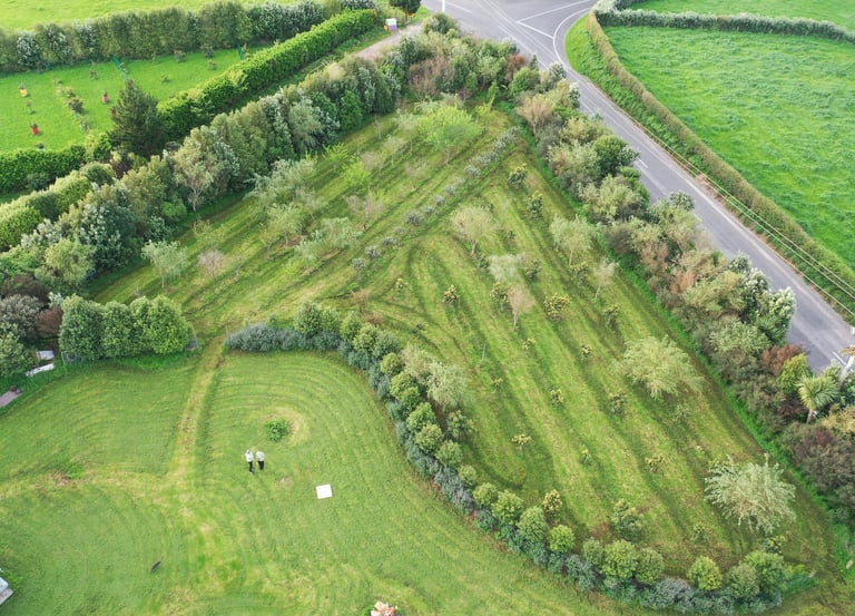
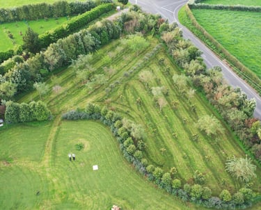
Drone Mapping
Stitched aerial maps using GIS overlay software for precise analysis.
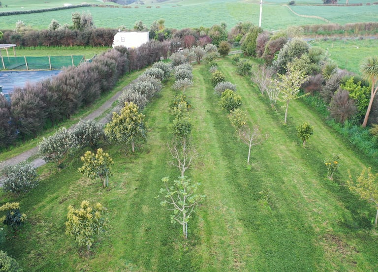
Property & Land Views
Affordable surveys for farms, lifestyle blocks, and various projects.
Get in Touch
Reach out for examples of work or an estimate personalised for what your requirements are.
Phone
0224924583
geomapnz@gmail.com
About Us
We’re a small local business based in Taranaki, run by Sam and Malachi. We enjoy using drones to capture unique arial views and turn them into useful maps, photos, and videos for local projects. Our focus is keeping things simple, affordable, and accessible for farmers, lifestyle block owners, and businesses.
Get in Touch
Contact Malachi Kirk. I'll respond within 24 hours. Based in the Taranaki region.
Manager - Malachi
0204898657
General Contact
geomapnz@gmail.com

Our Process
Discover how we capture stunning aerial imagery in three simple steps.
Flight Planning
We come check out your property, Build a flight plan on it, and then fly.
Aerial Capture
High-resolution photos and 4K video are collected with GPS accuracy.
Map & Overlay
Images are stitched together using GIS layering and QGIS software.
Why GeoMapNZ
Discover the unique benefits of choosing Geomap NZ for your aerial imaging needs.

Affordable
As a small business, we are the best price on the market for this line of work.
Fast Turnaround
Swift delivery of high-quality photos, videos, and maps for your projects.
Local & Personal
Dedicated Taranaki team, easily accessible for personalized service.