GeoMap NZ started with an old Phantom 3 that we barely used for years. One day, Sam came up with the idea of getting into drone mapping, and from there things started to grow. As we learned more, practiced more, and built up our skills and equipment, it turned into something bigger and became GeoMap NZ. We’ve come a long way already, and we’re still learning, improving, and building on it all the time.
Who we are
About
About GeoMap NZ
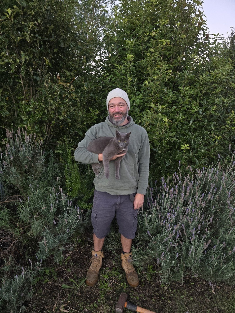
About Sam
Hi, I’m Sam. I come from a background in welding inspection and engineering, and I’ve always been interested in practical, technical work. I’m really interested in drone mapping because I think drones are a big part of the future, especially when they can be used to gather useful, real-world information.
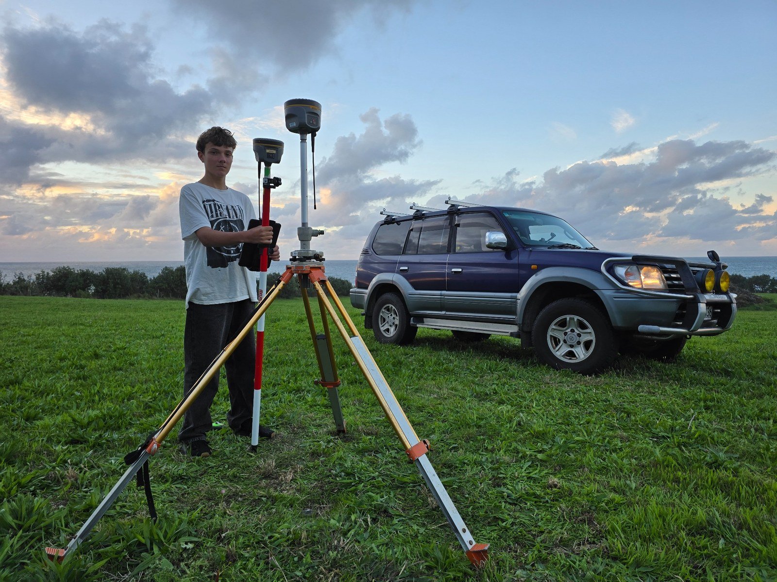
About Malachi
Hi, I’m Malachi. I’m a 14-year-old high school student with a strong interest in drone mapping and aerial photography. I do heaps of mountain biking, play a lot of music, and I’m very interested in learning practical skills and working with technology. I’m especially interested in the drone side of GeoMap NZ, from flying and capturing imagery through to learning more about how mapping and 3D modelling works.
Come and talk to us
While we are building our portfolio, we are really interested in talking with people about what they want from drone mapping services. We want to shape our work around what people actually need, not just what sounds good on a website.
There is only so much you can understand from a webpage, so the best thing to do is get in touch with us directly. We are happy to answer questions, talk through ideas, visit a site, price up a job, and explain what type of mapping might suit your project.