Environmental Monitoring
Repeat flights over the places where change matters.
We fly pre-saved, repeatable routes for environmental monitoring. A stream, a stretch of coastline, anywhere change is happening — dynamic or slow.
Annual or regular-interval comparisons show movement over time. That suits project milestones, construction progress, erosion, planting success and slips.
The drone covers far more ground than people on foot, so monitoring costs less and resources go further. That frees people for the most meaningful work of protecting the environment.
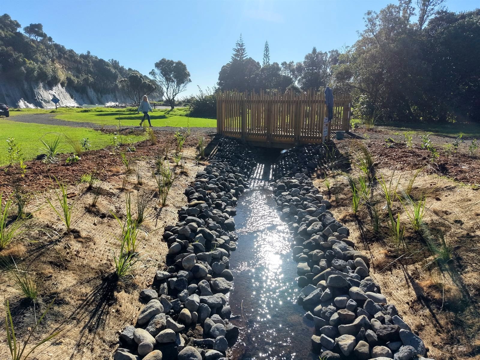
A newly planted, daylighted stream on the Taranaki coast — the kind of site repeat flights track season by season.
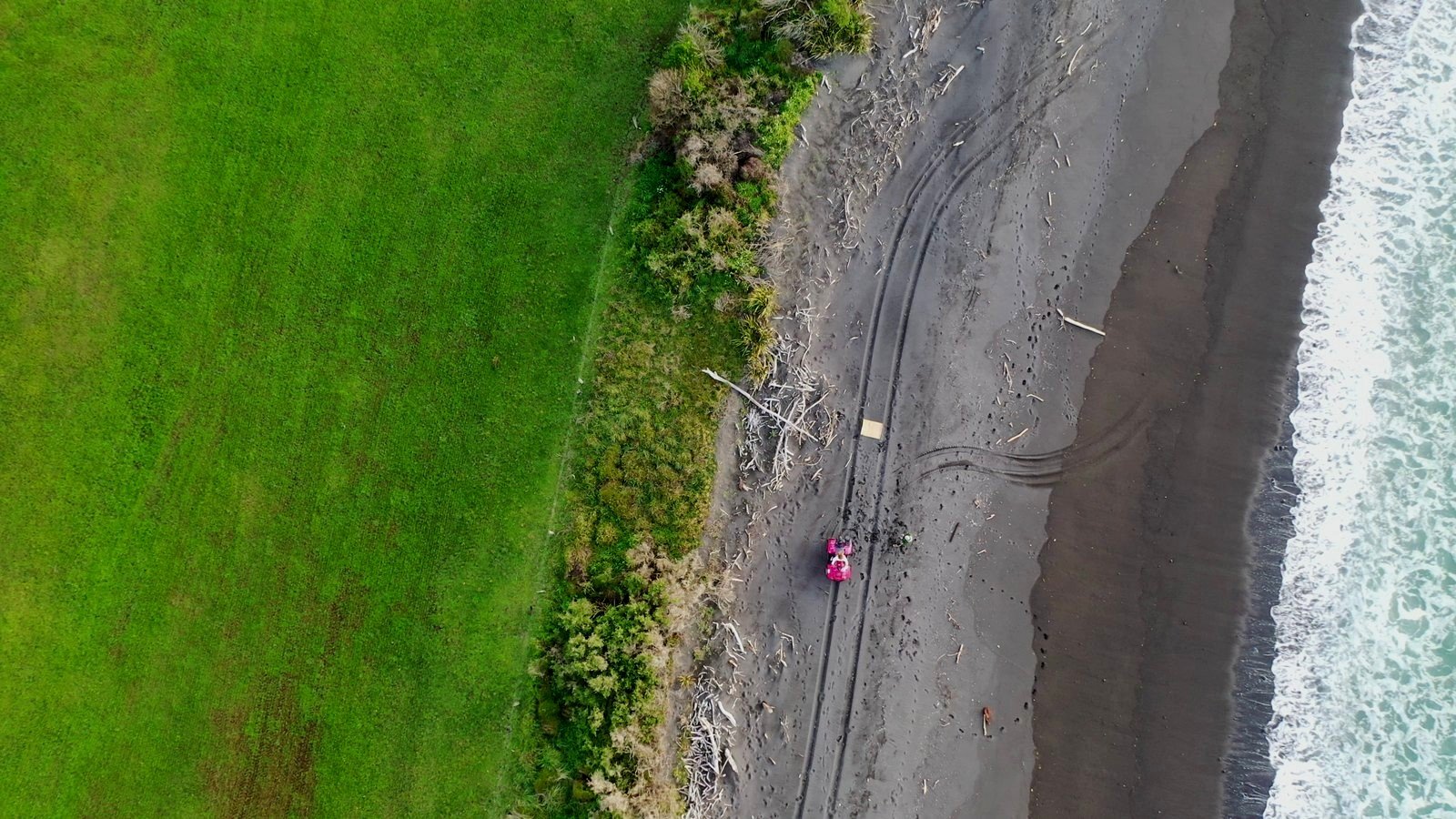
Straight down over the margin between pasture and beach. Grass, dune scrub, driftwood and black sand in one frame — the strip where change shows up first.
Track change before it gets away on you
Tell us where change is happening, and we'll build the record.