Services
Multispectral
Plant health data from blue, green, red, red edge, near-infrared and RGB.
Multispectral capture with RTK
We own a P4M-RTK drone.
A DJI Phantom 4 Multispectral with RTK captures accurately positioned imagery for assessing crop and vegetation health.
The primary use is plant health. We're still establishing how to use the tool most effectively, and it's currently used in various research programmes around Taranaki. Any consultancy or research organisations are welcome to get in touch and see how we can assist with your project for this type of data capture and analysis.
How multispectral mapping works
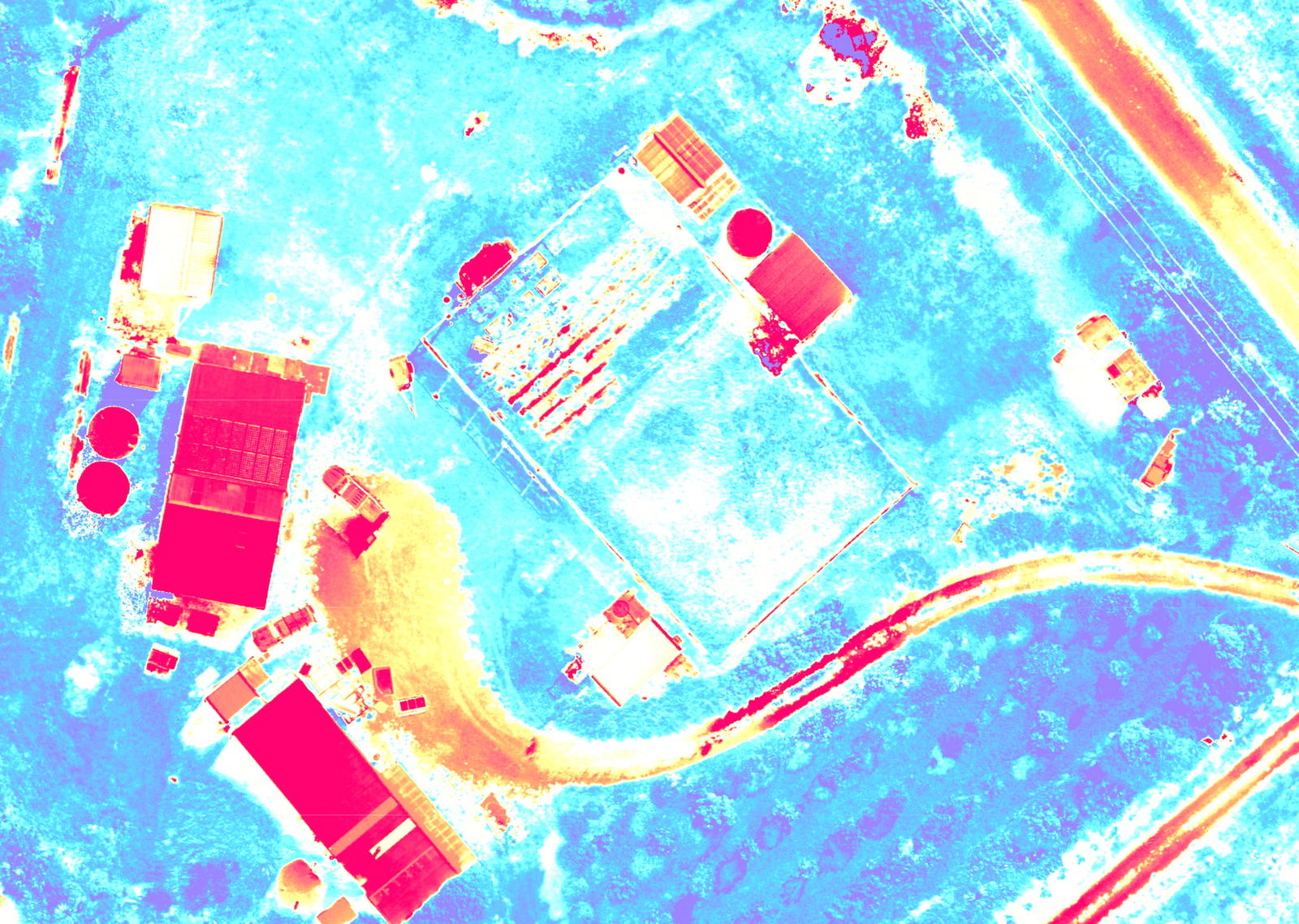
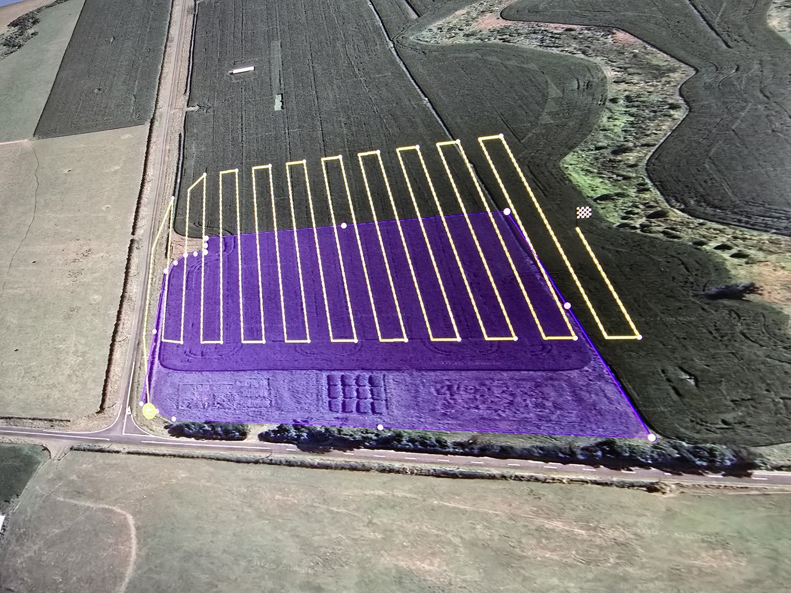
- Data capture: The drone records one RGB image and five narrow multispectral bands—blue, green, red, red-edge and near-infrared. Its RTK positioning system improves spatial accuracy, while the sunlight sensor records changing illumination conditions. Flights are normally conducted using a planned grid, consistent altitude and high image overlap.
- Processing: The images are combined using photogrammetry software to create an orthomosaic and separate reflectance maps for each spectral band. Calibration data and RTK corrections improve consistency and geographic accuracy.
- NDVI generation: NDVI is calculated from the red and near-infrared bands:
NDVI = (NIR − Red) / (NIR + Red) - Interpretation: High positive NDVI values generally indicate dense, healthy vegetation. Lower values can indicate sparse growth, crop stress, bare soil or non-vegetated surfaces.
- Uses: Results can support crop-health monitoring, stress detection, irrigation and fertiliser planning, field scouting, vegetation mapping, and comparison of changes over time.
- Limitations: NDVI indicates differences in vegetation vigour but does not identify the cause of stress. Results should be checked against field observations and collected under consistent lighting, altitude and seasonal conditions.
Have a project that needs multispectral data?
Tell us what you're looking for. If we can help, we'll say so plainly.